Technology That Sees Beyond Human Vision
Our advanced geospatial capabilities combine cutting-edge satellite technology, AI-powered analysis, and real-time processing to deliver intelligence that traditional systems cannot match. From all-weather SAR imaging to hyperspectral analysis, we provide the tools to solve the world's most challenging problems.
All-Weather Operations
SAR technology ensures 24/7 monitoring regardless of clouds, fog, or darkness
Early Detection
Hyperspectral imaging reveals problems weeks before they're visible to the eye
Real-Time Speed
Sub-100ms processing enables immediate response to events as they happen
Performance
Industry-Leading Specifications
Our technical capabilities deliver measurable advantages across all critical performance dimensions.
- All-Weather Uptime
- 99.9%
- via SAR technology
- Early Detection
- 2-3 weeks
- before visible symptoms
- Processing Speed
- <100ms
- real-time latency
- AI Accuracy
- 99.2%
- object detection rate
- Spectral Bands
- 200+
- hyperspectral channels
- Global Coverage
- 100%
- worldwide access
Core Technologies
Six Foundational Capabilities
Each capability addresses specific technical challenges and enables unique analytical possibilities. Combined, they provide comprehensive solutions for the most demanding applications.
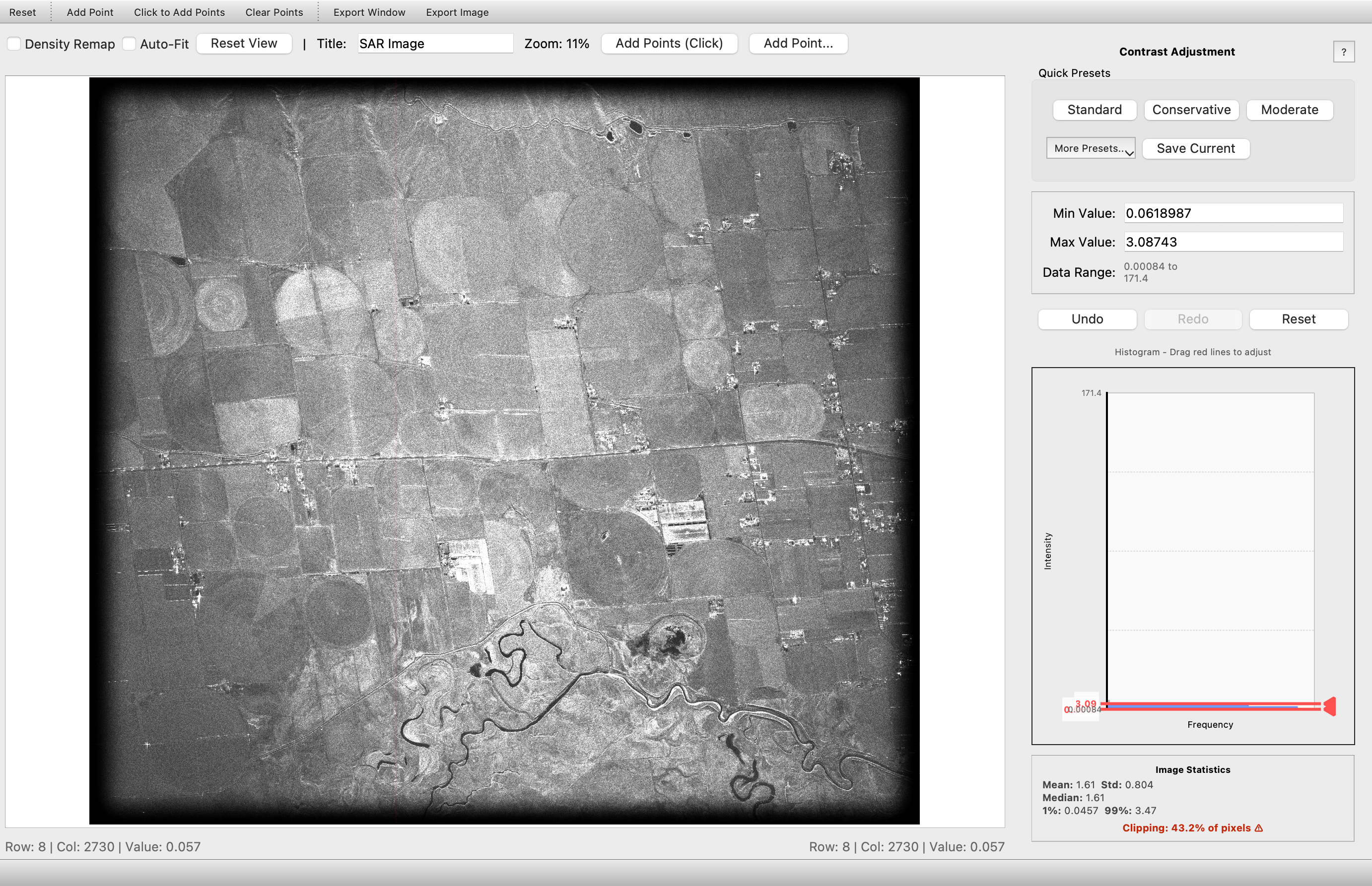
Synthetic Aperture Radar (SAR)
All-Weather, Day-Night Imaging
Advanced radar technology that penetrates clouds, darkness, and adverse weather conditions to deliver consistent, reliable imagery when optical systems fail. SAR provides critical intelligence in any environmental condition, ensuring continuous mission capability.
Real-World Example:
Technical Specifications:
Benefits:
- Operate in any weather condition
- Night and day imaging capability
- Penetrate cloud cover and smoke
- Detect subtle ground movements and changes
- Monitor denied-access areas
- No dependence on solar illumination
Performance Metrics:
Use Cases:
Hyperspectral Imaging
See Beyond the Visible Spectrum
Advanced imaging technology that captures data across hundreds of spectral bands, revealing chemical compositions, material properties, and patterns invisible to traditional cameras. Detect stress, anomalies, and changes at the molecular level.
Technical Specifications:
Benefits:
- Detect crop stress before visible symptoms appear
- Identify mineral compositions for mining and geology
- Monitor water quality and pollution levels
- Distinguish between similar-looking materials
- Early disease detection in vegetation
- Automated material classification
Performance Metrics:
Use Cases:
Real-Time Processing Engine
Make Decisions in Moments, Not Hours
Sub-100ms latency processing infrastructure that transforms streaming geospatial data into actionable intelligence instantly. Process petabytes of satellite data in real-time to respond to threats, disasters, or opportunities while they're happening.
Technical Specifications:
Benefits:
- Respond to events as they happen, not after they pass
- Immediate threat detection and alerting
- Real-time change detection across large areas
- Instant analysis of live satellite feeds
- Automated alert triggering based on conditions
- Minimal time-to-insight for critical decisions
Performance Metrics:
Use Cases:
AI-Powered Analysis
Automated Intelligence from Raw Data
Advanced machine learning models trained on billions of images to automatically detect, classify, and analyze objects, patterns, and anomalies. Human-level accuracy at machine speed, processing years of manual analysis in minutes.
Technical Specifications:
Benefits:
- Automate tedious manual image analysis tasks
- Consistent accuracy without human fatigue
- Detect patterns invisible to human analysts
- Scale analysis to millions of images
- Continuous learning and improvement
- Multi-target tracking across time
Performance Metrics:
Use Cases:
Multi-Spectral Analysis
Multiple Wavelengths, Comprehensive Insights
Simultaneous capture and analysis across multiple electromagnetic spectrum bands (visible, infrared, thermal) to reveal temperature, moisture, vegetation health, and material properties that single-band imaging misses.
Technical Specifications:
Benefits:
- Measure vegetation health and vigor (NDVI)
- Detect water stress and irrigation needs
- Identify heat signatures and temperature anomalies
- Monitor soil moisture and composition
- Track seasonal and phenological changes
- Distinguish land cover types automatically
Performance Metrics:
Use Cases:
Global Coverage Infrastructure
Worldwide Data Access, Local Processing Speed
Cloud-native architecture with edge computing nodes worldwide, providing instant access to global satellite imagery archives and local processing for minimal latency. Analyze any location on Earth with the same speed and quality.
Technical Specifications:
Benefits:
- Access imagery from anywhere on Earth
- Historical analysis back to 1990s
- Low-latency processing via edge nodes
- Consistent quality across all regions
- Automated data acquisition and updates
- Multi-source data integration
Performance Metrics:
Use Cases:
Comparison
Shadow Phase vs Traditional Approaches
See how our advanced capabilities compare to conventional geospatial analysis methods.
| Capability | Shadow Phase Systems | Traditional Systems |
|---|---|---|
| Weather Dependency | Zero - works in all conditions | High - requires clear skies |
| Night Operations | Full capability 24/7 | Limited or unavailable |
| Cloud Penetration | Complete penetration | Blocked by clouds |
| Spectral Bands | 200+ bands | 3-10 bands (RGB/multispectral) |
| Material Detection | Chemical-level identification | Visual appearance only |
| Early Warning | 2-3 weeks advance notice | After visible damage |
| Processing Time | Sub-100ms real-time | Hours to days (batch) |
| Response Capability | Immediate action | Post-event analysis |
| Scalability | Auto-scaling unlimited | Fixed capacity constraints |
Applications
Real-World Impact Across Industries
Our capabilities work together to solve complex problems across defense, agriculture, disaster response, and environmental monitoring.
All-Weather Border Monitoring
SAR imaging combined with AI-powered real-time analysis provides 24/7 surveillance with 99.9% uptime and automated threat detection.
Precision Crop Monitoring
Hyperspectral and multi-spectral imaging with AI analysis detects crop stress 2-3 weeks early, enabling targeted intervention and 15-20% yield increases.
Rapid Disaster Assessment
SAR penetrates clouds for immediate post-disaster imagery, while AI classifies damage levels across entire regions within hours.
Environmental Compliance
Real-time change detection with global coverage monitors protected areas 24/7, alerting to illegal deforestation within hours.
Ready to leverage these capabilities?
Contact our team to learn how our advanced geospatial technologies can solve your specific challenges.